
3D model to depth map: greyscale depth image from any angle
Render a greyscale depth map of a 3D model: near is white and far is black (or inverted), perspective or orthographic, up to 512 px. Free, in your browser.
Loading the tool…
Free · no sign-up · runs in your browser · files stay on your device
In short: drop a 3D model above and choose an angle. The tool renders a depth map: a greyscale image where brightness shows distance from the camera, white nearest and black farthest (or the other way round). It's scaled to use the full range of greys over the model. It runs in your browser.
How to make a depth map
- Add your model, or click Try it with an example.
- Choose the angle and size (up to 512 px).
- Choose the projection: perspective, like a camera, or orthographic, with no perspective.
- Invert if your app expects near to be dark.
- Choose the background: black (as far away), white, or transparent.
- Download the PNG.
How it's calculated
For every pixel, the tool measures the straight-line distance from the camera plane to the model's surface, then maps the model's nearest point to white and its farthest to black, evenly in between. That uses all 256 levels of grey for this model, whatever its size. So it's a relative depth map, not one in real units.
Uses
- 2.5D and parallax effects, where layers move by depth.
- Displacement and relief: turn a depth map into a printable relief with the image to heightmap STL tool (use orthographic, near white).
- AI image tools that take a depth image to guide composition. Check which way round your tool expects (many treat near as white).
- Compositing, as a quick depth pass for fog or focus effects.
What it can't do
- More than 256 levels. PNG here is 8-bit, so deep models show slight steps. Studio-quality 16-bit or EXR depth needs a 3D renderer.
- Real-world distances. Depth is scaled to the model.
- See-through materials. Glass and transparent parts count as solid.
Example
The example rocket as a perspective depth map, near white, on black:
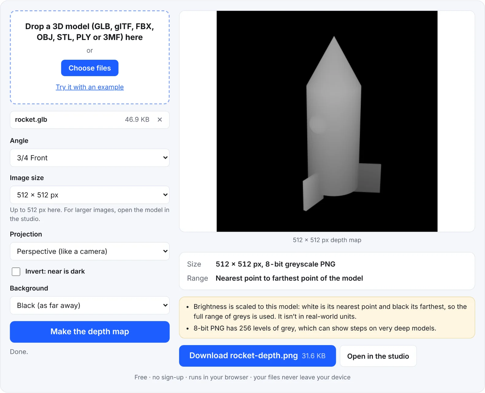 The example rocket as a depth map
Frequently asked questions
Is my model uploaded?
No. It's rendered in your browser.
Should I use perspective or orthographic?
Perspective matches a photo of the model. Orthographic suits reliefs and technical uses, because depth doesn't change with distance from the centre.
Why is my depth map mostly one grey?
The model is very deep compared with its details (a long object seen end-on). Try another angle.
Can I get a normal map instead?
A normal map shows which way each part of the surface faces, rather than how far away it is. Make a depth map here, then turn it into a normal map with the normal map generator.